
Satanta topographic map
Interactive map
Click on the map to display elevation.
About this map
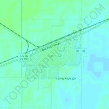
Name: Satanta topographic map, elevation, terrain.
Location: Satanta, Haskell County, Kansas, 67870, United States (37.43138 -100.99835 37.44315 -100.98015)
Average elevation: 2,972 ft
Minimum elevation: 2,963 ft
Maximum elevation: 2,986 ft