
Leonard topographic map
Interactive map
Click on the map to display elevation.
About this map
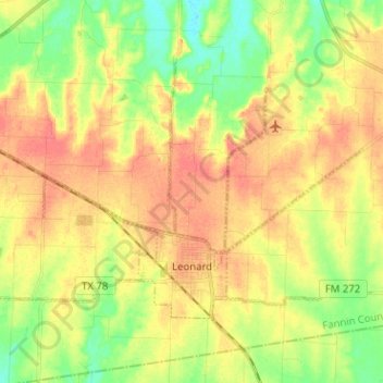
Name: Leonard topographic map, elevation, terrain.
Location: Leonard, Fannin County, Texas, 75452, United States (33.36827 -96.31154 33.43998 -96.18468)
Average elevation: 689 ft
Minimum elevation: 597 ft
Maximum elevation: 764 ft