
Oak Leaf topographic map
Interactive map
Click on the map to display elevation.
About this map
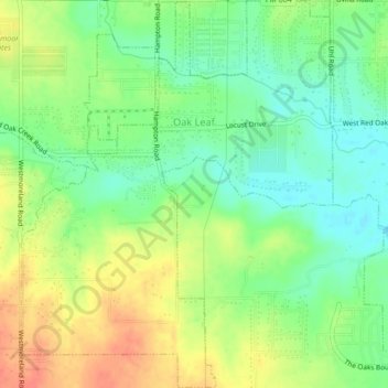
Name: Oak Leaf topographic map, elevation, terrain.
Location: Oak Leaf, Ellis County, Texas, United States (32.49563 -96.87386 32.53175 -96.83934)
Average elevation: 623 ft
Minimum elevation: 548 ft
Maximum elevation: 712 ft