
Sauerlach topographic map
Interactive map
Click on the map to display elevation.
About this map
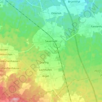
Name: Sauerlach topographic map, elevation, terrain.
Location: Sauerlach, Landkreis München, Bavaria, 82054, Germany (47.91997 11.56644 48.00622 11.70239)
Average elevation: 2,083 ft
Minimum elevation: 1,913 ft
Maximum elevation: 2,434 ft