
Benders Landing topographic map
Interactive map
Click on the map to display elevation.
About this map
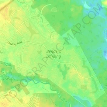
Name: Benders Landing topographic map, elevation, terrain.
Location: Benders Landing, Montgomery County, Texas, United States (30.06366 -95.38022 30.12196 -95.31501)
Average elevation: 95 ft
Minimum elevation: 59 ft
Maximum elevation: 121 ft