
Biggar topographic map
Interactive map
Click on the map to display elevation.
About this map
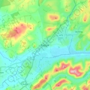
Name: Biggar topographic map, elevation, terrain.
Location: Biggar, South Lanarkshire, Scotland, ML12 6AE, United Kingdom (55.58449 -3.56158 55.66449 -3.48158)
Average elevation: 833 ft
Minimum elevation: 633 ft
Maximum elevation: 1,414 ft