
Lucas topographic map
Interactive map
Click on the map to display elevation.
About this map
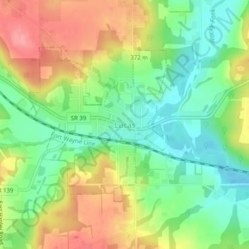
Name: Lucas topographic map, elevation, terrain.
Location: Lucas, Monroe Township, Richland County, Ohio, United States (40.69547 -82.43247 40.71220 -82.41222)
Average elevation: 1,168 ft
Minimum elevation: 1,033 ft
Maximum elevation: 1,339 ft