
Sabra topographic map
Interactive map
Click on the map to display elevation.
About this map
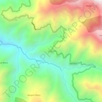
Name: Sabra topographic map, elevation, terrain.
Location: Sabra, Tyuni, Dehradun, Uttarakhand, India (30.79390 77.82088 30.83390 77.86088)
Average elevation: 5,062 ft
Minimum elevation: 3,314 ft
Maximum elevation: 7,687 ft