
Tanot topographic map
Interactive map
Click on the map to display elevation.
About this map
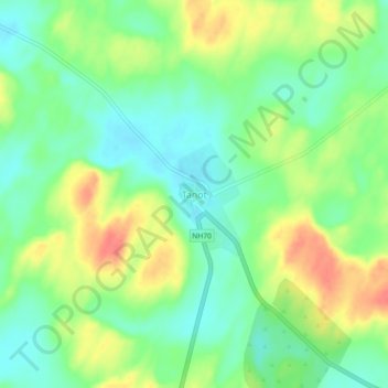
Name: Tanot topographic map, elevation, terrain.
Location: Tanot, Jaisalmer Tehsil, Jaisalmer, Rajasthan, India (27.77601 70.33316 27.81601 70.37316)
Average elevation: 351 ft
Minimum elevation: 276 ft
Maximum elevation: 456 ft