
Devers topographic map
Interactive map
Click on the map to display elevation.
About this map
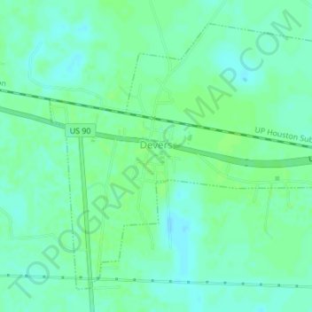
Name: Devers topographic map, elevation, terrain.
Location: Devers, Liberty County, Texas, United States (30.01369 -94.60332 30.03901 -94.56904)
Average elevation: 59 ft
Minimum elevation: 43 ft
Maximum elevation: 69 ft