
Bader Memorial Park topographic map
Interactive map
Click on the map to display elevation.
About this map
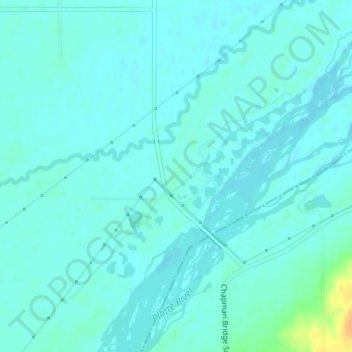
Name: Bader Memorial Park topographic map, elevation, terrain.
Location: Bader Memorial Park, Merrick County, Nebraska, United States (40.98969 -98.14761 40.98979 -98.14751)
Average elevation: 1,778 ft
Minimum elevation: 1,762 ft
Maximum elevation: 1,864 ft
Other topographic maps
Click on a map to view its topography, its elevation and its terrain.
Central City
United States > Nebraska > Merrick County
Central City, Merrick County, Nebraska, 68826, United States
Average elevation: 1,699 ft