
Clifton Hill topographic map
Interactive map
Click on the map to display elevation.
About this map
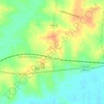
Name: Clifton Hill topographic map, elevation, terrain.
Location: Clifton Hill, Randolph County, Missouri, United States (39.43586 -92.67051 39.44388 -92.66285)
Average elevation: 709 ft
Minimum elevation: 646 ft
Maximum elevation: 778 ft