
Harrington topographic map
Interactive map
Click on the map to display elevation.
About this map
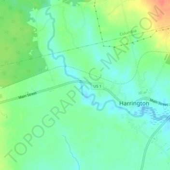
Name: Harrington topographic map, elevation, terrain.
Location: Harrington, Washington County, Maine, 04643, United States (44.62213 -67.82135 44.62223 -67.82125)
Average elevation: 52 ft
Minimum elevation: -3 ft
Maximum elevation: 151 ft