
Bridport topographic map
Interactive map
Click on the map to display elevation.
About this map
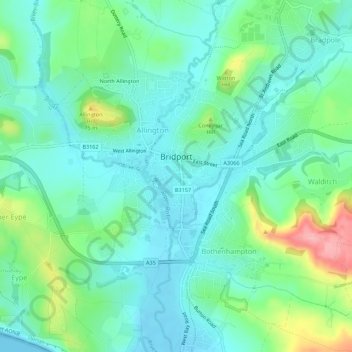
Name: Bridport topographic map, elevation, terrain.
Location: Bridport, Dorset, South West England, England, United Kingdom (50.71441 -2.77605 50.74925 -2.73238)
Average elevation: 108 ft
Minimum elevation: -7 ft
Maximum elevation: 420 ft