
Linville topographic map
Interactive map
Click on the map to display elevation.
About this map
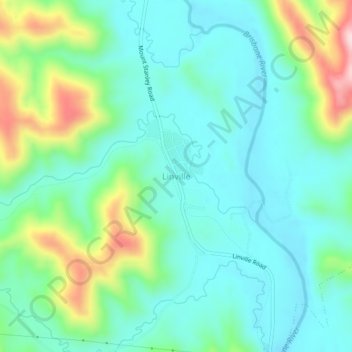
Name: Linville topographic map, elevation, terrain.
Location: Linville, Somerset Regional, Queensland, 4306, Australia (-26.86368 152.25623 -26.82368 152.29623)
Average elevation: 600 ft
Minimum elevation: 344 ft
Maximum elevation: 1,342 ft