
Winchester topographic map
Interactive map
Click on the map to display elevation.
About this map
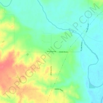
Name: Winchester topographic map, elevation, terrain.
Location: Winchester, Woods County, Oklahoma, United States (36.93725 -98.81731 36.97725 -98.77731)
Average elevation: 1,480 ft
Minimum elevation: 1,404 ft
Maximum elevation: 1,608 ft