
Union topographic map
Interactive map
Click on the map to display elevation.
About this map
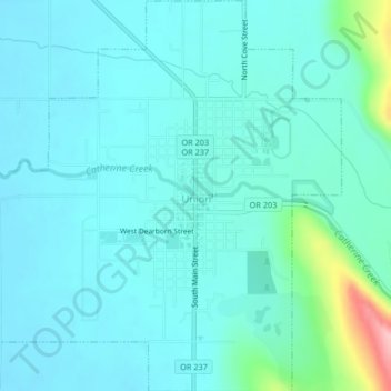
Name: Union topographic map, elevation, terrain.
Location: Union, Union County, Oregon, 97883, United States (45.19511 -117.88624 45.22425 -117.84999)
Average elevation: 2,815 ft
Minimum elevation: 2,733 ft
Maximum elevation: 3,278 ft