
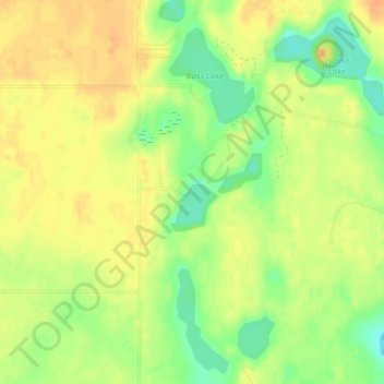
Saddleback Lake topographic map
Interactive map
Click on the map to display elevation.
About this map
Name: Saddleback Lake topographic map, elevation, terrain.
Average elevation: 1,030 ft
Minimum elevation: 961 ft
Maximum elevation: 1,073 ft
Other topographic maps
Click on a map to view its topography, its elevation and its terrain.
Timberline Mountain
United States > Michigan > Oscoda County
Timberline Mountain, Big Creek Township, Oscoda County, Michigan, United States
Average elevation: 1,234 ft