
La Reja topographic map
Interactive map
Click on the map to display elevation.
About this map
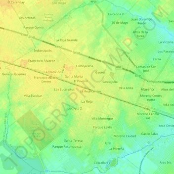
Name: La Reja topographic map, elevation, terrain.
Location: La Reja, Partido de Moreno, Buenos Aires, Argentina (-34.68620 -58.88432 -34.59067 -58.80127)
Average elevation: 82 ft
Minimum elevation: 39 ft
Maximum elevation: 118 ft