
Crozier topographic map
Interactive map
Click on the map to display elevation.
About this map
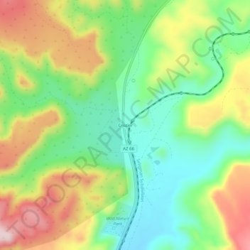
Name: Crozier topographic map, elevation, terrain.
Location: Crozier, Mohave County, Arizona, 86437, United States (35.40499 -113.66903 35.44499 -113.62903)
Average elevation: 4,272 ft
Minimum elevation: 3,868 ft
Maximum elevation: 4,846 ft