
Duffield topographic map
Interactive map
Click on the map to display elevation.
About this map
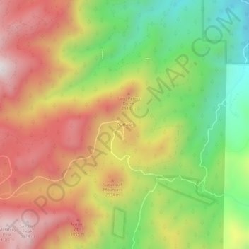
Name: Duffield topographic map, elevation, terrain.
Location: Duffield, El Paso County, Colorado, United States (38.72221 -104.93247 38.76221 -104.89247)
Average elevation: 8,930 ft
Minimum elevation: 7,415 ft
Maximum elevation: 10,430 ft