
Tecumseh topographic map
Interactive map
Click on the map to display elevation.
About this map
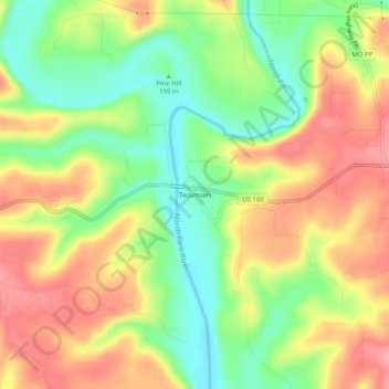
Name: Tecumseh topographic map, elevation, terrain.
Location: Tecumseh, Ozark County, Missouri, 65760, United States (36.56673 -92.30655 36.60673 -92.26655)
Average elevation: 722 ft
Minimum elevation: 538 ft
Maximum elevation: 902 ft