
Russell topographic map
Interactive map
Click on the map to display elevation.
About this map
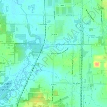
Name: Russell topographic map, elevation, terrain.
Location: Russell, Lake County, Illinois, 60075, United States (42.47058 -87.93258 42.51058 -87.89258)
Average elevation: 692 ft
Minimum elevation: 659 ft
Maximum elevation: 778 ft