
Givhans topographic map
Interactive map
Click on the map to display elevation.
About this map
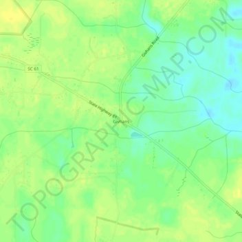
Name: Givhans topographic map, elevation, terrain.
Location: Givhans, Dorchester County, South Carolina, United States (32.99156 -80.35760 33.03156 -80.31760)
Average elevation: 52 ft
Minimum elevation: 13 ft
Maximum elevation: 79 ft