
Holdenstedt topographic map
Interactive map
Click on the map to display elevation.
About this map
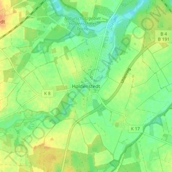
Name: Holdenstedt topographic map, elevation, terrain.
Location: Holdenstedt, Uelzen, Lower Saxony, Germany (52.90103 10.50363 52.94103 10.54363)
Average elevation: 164 ft
Minimum elevation: 115 ft
Maximum elevation: 220 ft