
Burlington topographic map
Interactive map
Click on the map to display elevation.
About this map
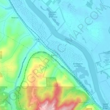
Name: Burlington topographic map, elevation, terrain.
Location: Burlington, Multnomah County, Oregon, 97231, United States (45.62623 -122.86260 45.66623 -122.82260)
Average elevation: 177 ft
Minimum elevation: -7 ft
Maximum elevation: 833 ft