
Champ topographic map
Interactive map
Click on the map to display elevation.
About this map
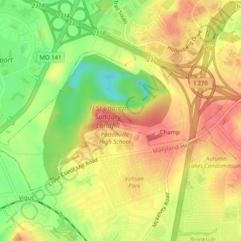
Name: Champ topographic map, elevation, terrain.
Location: Champ, Saint Louis County, Missouri, United States (38.73644 -90.46886 38.75207 -90.43591)
Average elevation: 509 ft
Minimum elevation: 341 ft
Maximum elevation: 636 ft