
Kfar Kana topographic map
Interactive map
Click on the map to display elevation.
About this map
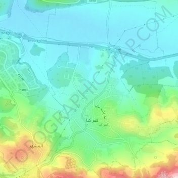
Name: Kfar Kana topographic map, elevation, terrain.
Location: Kfar Kana, Jezreel Subdistrict, North District, 16930, Israel (32.73280 35.32729 32.77326 35.36588)
Average elevation: 787 ft
Minimum elevation: 522 ft
Maximum elevation: 1,585 ft