
Shetland Islands topographic map
Interactive map
Click on the map to display elevation.
About this map
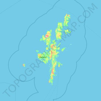
Name: Shetland Islands topographic map, elevation, terrain.
Location: Shetland Islands, Scotland, ZE2 9PY, United Kingdom (59.63333 -2.03333 61.03333 -0.63333)
Average elevation: 13 ft
Minimum elevation: -7 ft
Maximum elevation: 1,430 ft