
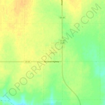
Turpin topographic map
Interactive map
Click on the map to display elevation.
About this map
Name: Turpin topographic map, elevation, terrain.
Location: Turpin, Beaver County, Oklahoma, 73950, United States (36.84668 -100.89810 36.88668 -100.85810)
Average elevation: 2,743 ft
Minimum elevation: 2,684 ft
Maximum elevation: 2,779 ft