
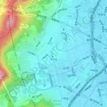
Sajik-dong topographic map
Interactive map
Click on the map to display elevation.
About this map
Name: Sajik-dong topographic map, elevation, terrain.
Location: Sajik-dong, Dongnae-gu, Busan, South Korea (35.19125 129.04342 35.20855 129.07934)
Average elevation: 230 ft
Minimum elevation: 13 ft
Maximum elevation: 1,191 ft