
Miller Water Table topographic map
Interactive map
Click on the map to display elevation.
About this map
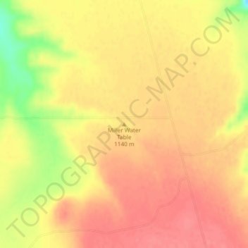
Name: Miller Water Table topographic map, elevation, terrain.
Location: Miller Water Table, Owyhee County, Idaho, United States (42.65013 -115.73652 42.65023 -115.73642)
Average elevation: 3,740 ft
Minimum elevation: 3,589 ft
Maximum elevation: 3,802 ft
Other topographic maps
Click on a map to view its topography, its elevation and its terrain.
Homedale
United States > Idaho > Owyhee County
Homedale, Owyhee County, Idaho, 83628, United States
Average elevation: 2,241 ft
Marsing
United States > Idaho > Owyhee County
Marsing, Owyhee County, Idaho, United States
Average elevation: 2,277 ft
Sinker Butte
United States > Idaho > Owyhee County
Sinker Butte, Owyhee County, Idaho, United States
Average elevation: 2,927 ft
Grand View
United States > Idaho > Owyhee County
Grand View, Owyhee County, Idaho, United States
Average elevation: 2,418 ft