
Riley topographic map
Interactive map
Click on the map to display elevation.
About this map
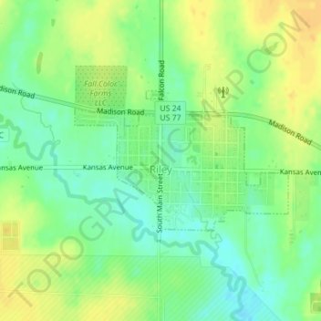
Name: Riley topographic map, elevation, terrain.
Location: Riley, Riley County, Kansas, 66531, United States (39.29370 -96.84021 39.30547 -96.81697)
Average elevation: 1,302 ft
Minimum elevation: 1,257 ft
Maximum elevation: 1,348 ft