
Jumet topographic map
Interactive map
Click on the map to display elevation.
About this map
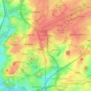
Name: Jumet topographic map, elevation, terrain.
Location: Jumet, Charleroi, Hainaut, Wallonia, 6040, Belgium (50.42717 4.39848 50.46147 4.48764)
Average elevation: 502 ft
Minimum elevation: 328 ft
Maximum elevation: 653 ft