
Nawli topographic map
Interactive map
Click on the map to display elevation.
About this map
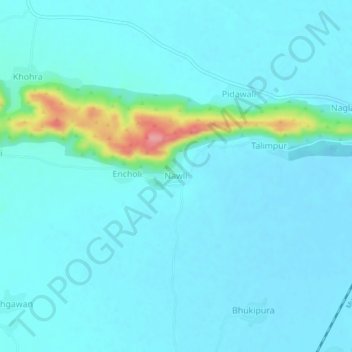
Name: Nawli topographic map, elevation, terrain.
Location: Nawli, Bayana Tehsil, Bharatpur, Rajasthan, India (26.98503 77.27249 27.02503 77.31249)
Average elevation: 666 ft
Minimum elevation: 620 ft
Maximum elevation: 984 ft