
Hillsboro City Park topographic map
Interactive map
Click on the map to display elevation.
About this map
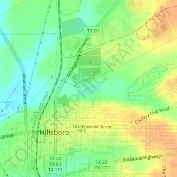
Name: Hillsboro City Park topographic map, elevation, terrain.
Average elevation: 623 ft
Minimum elevation: 568 ft
Maximum elevation: 676 ft
Other topographic maps
Click on a map to view its topography, its elevation and its terrain.
Hillsboro
United States > Texas > Hill County > Hillsboro > Hillsboro
Hillsboro, Hill County, Texas, 76645, United States
Average elevation: 627 ft