
Westmoreland topographic map
Interactive map
Click on the map to display elevation.
About this map
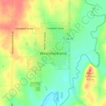
Name: Westmoreland topographic map, elevation, terrain.
Location: Westmoreland, Pottawatomie County, Kansas, United States (39.38534 -96.42152 39.40077 -96.40757)
Average elevation: 1,217 ft
Minimum elevation: 1,119 ft
Maximum elevation: 1,325 ft