
Umatilla topographic map
Interactive map
Click on the map to display elevation.
About this map
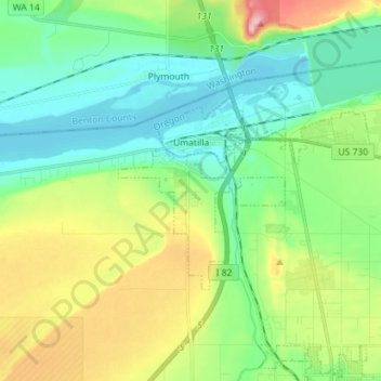
Name: Umatilla topographic map, elevation, terrain.
Location: Umatilla, Umatilla County, Oregon, United States (45.87912 -119.36971 45.93016 -119.22773)
Average elevation: 463 ft
Minimum elevation: 259 ft
Maximum elevation: 935 ft