
Los Ángeles topographic map
Interactive map
Click on the map to display elevation.
About this map
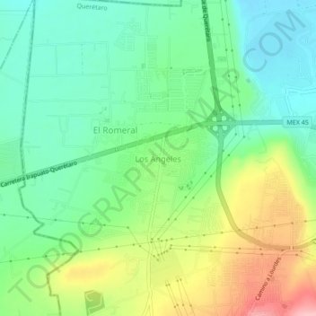
Name: Los Ángeles topographic map, elevation, terrain.
Location: Los Ángeles, Corregidora, Querétaro, 76927, Mexico (20.51450 -100.50808 20.55450 -100.46808)
Average elevation: 6,083 ft
Minimum elevation: 5,912 ft
Maximum elevation: 6,398 ft