
Earl topographic map
Interactive map
Click on the map to display elevation.
About this map
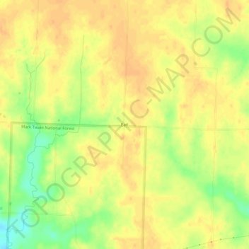
Name: Earl topographic map, elevation, terrain.
Location: Earl, Callaway County, Missouri, USA (38.91115 -92.08129 38.95115 -92.04129)
Average elevation: 889 ft
Minimum elevation: 814 ft
Maximum elevation: 922 ft