
Llanddyfnan topographic map
Interactive map
Click on the map to display elevation.
About this map
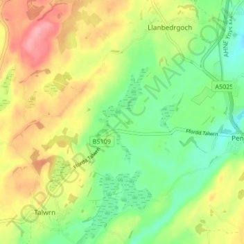
Name: Llanddyfnan topographic map, elevation, terrain.
Location: Llanddyfnan, Isle of Anglesey, Wales, LL75 8UL, United Kingdom (53.26425 -4.26882 53.30425 -4.22882)
Average elevation: 177 ft
Minimum elevation: 26 ft
Maximum elevation: 371 ft