
Clifton topographic map
Interactive map
Click on the map to display elevation.
About this map
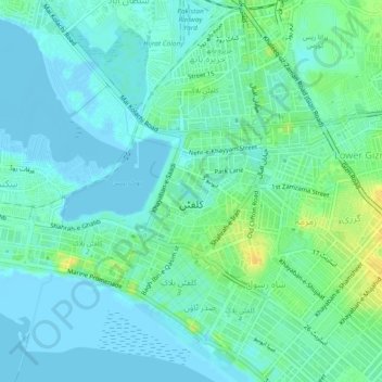
Name: Clifton topographic map, elevation, terrain.
Location: Clifton, Karachi, Sindh, 75600, Pakistan (24.80026 66.99687 24.84067 67.04366)
Average elevation: 23 ft
Minimum elevation: -20 ft
Maximum elevation: 79 ft