
Uhland topographic map
Interactive map
Click on the map to display elevation.
About this map
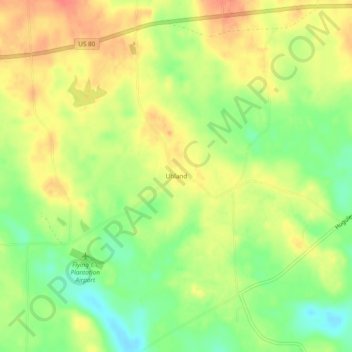
Name: Uhland topographic map, elevation, terrain.
Location: Uhland, Russell County, Alabama, USA (32.40625 -85.30661 32.44625 -85.26661)
Average elevation: 417 ft
Minimum elevation: 325 ft
Maximum elevation: 489 ft