
Kohora topographic map
Interactive map
Click on the map to display elevation.
About this map
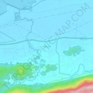
Name: Kohora topographic map, elevation, terrain.
Location: Kohora, Bokakhat, Golaghat, Assam, 785609, India (26.56700 93.39058 26.60700 93.43058)
Average elevation: 341 ft
Minimum elevation: 233 ft
Maximum elevation: 1,316 ft