
越溪村 topographic map
Interactive map
Click on the map to display elevation.
About this map
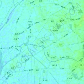
Name: 越溪村 topographic map, elevation, terrain.
Location: 越溪村, 下寮, Landkreis Pingdong, Provinz Taiwan, 924, Taiwan (22.48110 120.46830 22.52110 120.50830)
Average elevation: 10 ft
Minimum elevation: -7 ft
Maximum elevation: 30 ft