
Canfranc topographic map
Interactive map
Click on the map to display elevation.
About this map
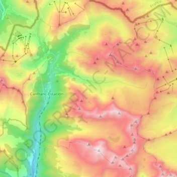
Name: Canfranc topographic map, elevation, terrain.
Location: Canfranc, La Jacetania, Huesca, Aragon, 22880, Spain (42.69725 -0.53755 42.80944 -0.42112)
Average elevation: 6,109 ft
Minimum elevation: 3,261 ft
Maximum elevation: 9,423 ft