
La Couvrie topographic map
Interactive map
Click on the map to display elevation.
About this map
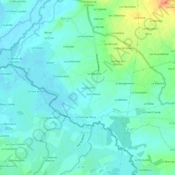
Name: La Couvrie topographic map, elevation, terrain.
Location: La Couvrie, Alençon, Orne, Normandy, Metropolitan France, France (48.44757 0.32875 48.48757 0.36875)
Average elevation: 495 ft
Minimum elevation: 459 ft
Maximum elevation: 610 ft