
Waitemata topographic map
Interactive map
Click on the map to display elevation.
About this map
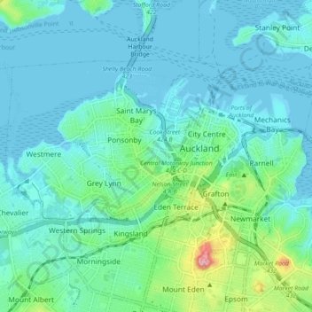
Name: Waitemata topographic map, elevation, terrain.
Location: Waitemata, Auckland, New Zealand (-36.87546 174.70863 -36.83227 174.79593)
Average elevation: 105 ft
Minimum elevation: -10 ft
Maximum elevation: 627 ft