
Greater Tubatse Local Municipality topographic map
Interactive map
Click on the map to display elevation.
About this map
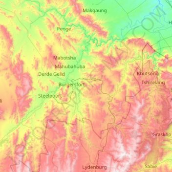
Name: Greater Tubatse Local Municipality topographic map, elevation, terrain.
Average elevation: 3,740 ft
Minimum elevation: 1,302 ft
Maximum elevation: 7,333 ft