
Bad Radkersburg topographic map
Interactive map
Click on the map to display elevation.
About this map
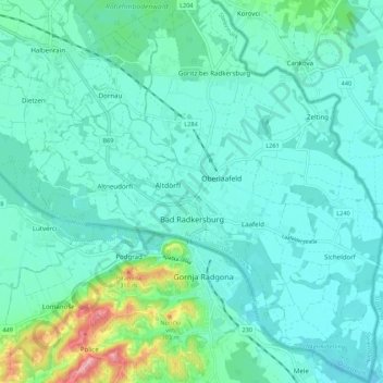
Name: Bad Radkersburg topographic map, elevation, terrain.
Location: Bad Radkersburg, Südoststeiermark, Styria, 8490, Austria (46.65614 15.94419 46.73061 16.04251)
Average elevation: 725 ft
Minimum elevation: 640 ft
Maximum elevation: 1,122 ft